You are here: Home > Heritage > Digital maps
Heritage
Home
Explore thousands of images and more with Canterbury Stories
Discover your family’s history at our libraries
Click on Thumbnail to view enlargement ~ Title index ~ Printing Tips
Next Page

 Discover your family’s history at our libraries
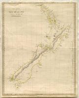 The Islands of New Zealand
![Image of [Christchurch]](116182.jpg) [Christchurch]
[Christchurch]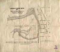 Christchurch International Exhibition, 1906-7
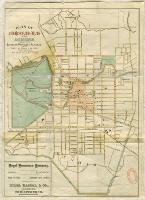 Plan of Christchurch and suburbs
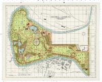 Botanic Gardens, Christchurch, New Zealand
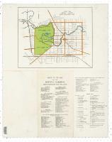 Botanic Gardens, Christchurch, New Zealand
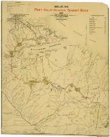 Map of the Port Hills-Akaroa Summit Road and reserves
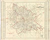 Map of Christchurch
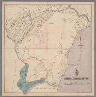 Hundalee survey district
 Map of Christchurch and suburbs
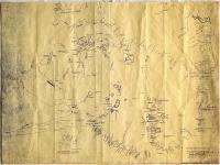 Maori place names of Banks Peninsula
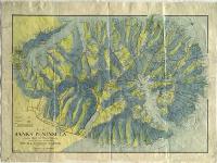 Map of Banks’ Peninsula showing roads and physical features
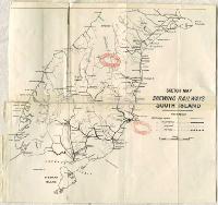 Sketch map shewing railways, South Island
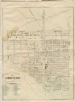 Township of Ashburton
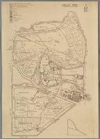 Hagley Park